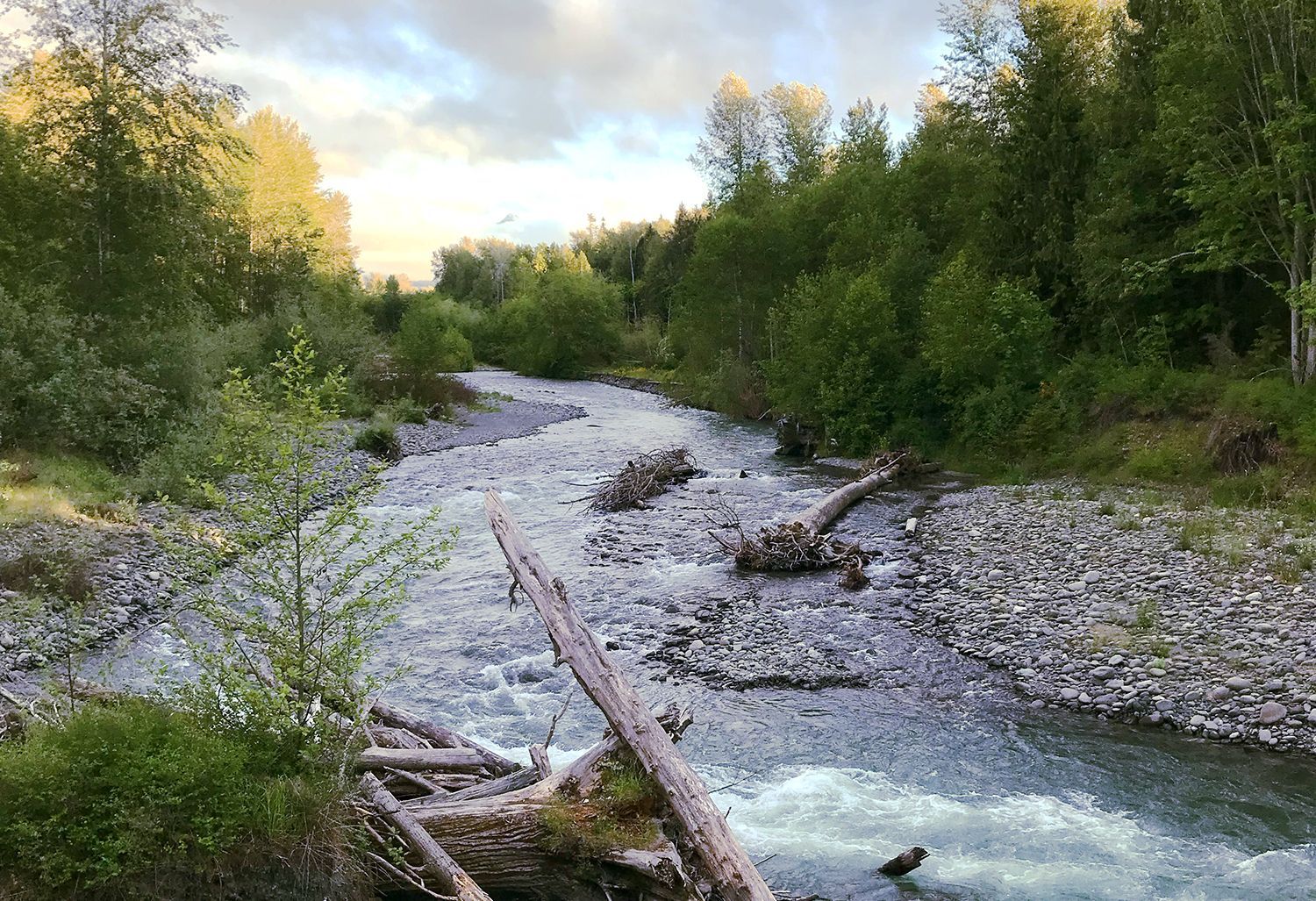
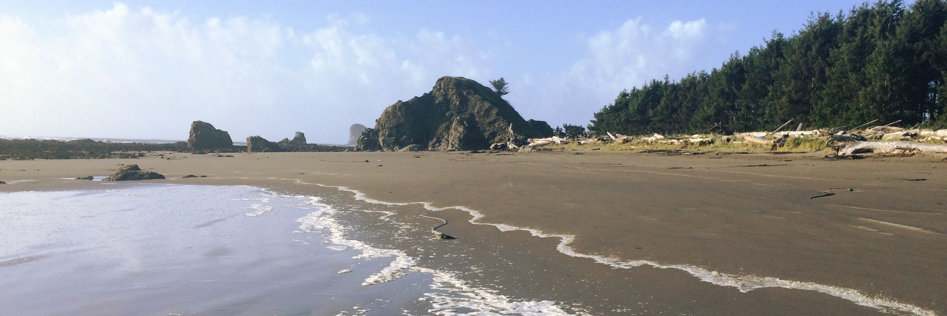
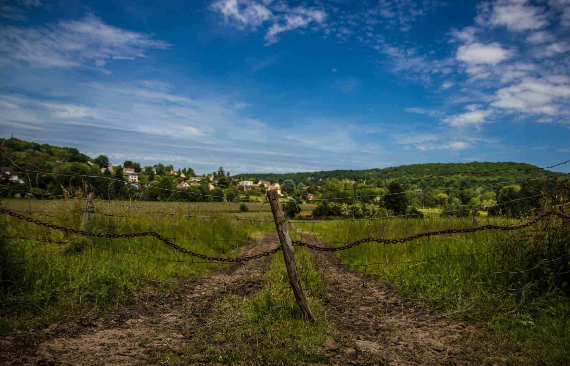
Environment
The NODC works with its member and partner organizations to build energy and environmental resilience on the North Olympic Peninsula. The NODC is a member of the Strait Ecosystem Recovery Network.
Projects
Strait ERN is a collaborative network working toward a healthy and resilient ecosystem that sustains all life and human wellbeing on the North Olympic Peninsula and along the Strait of Juan de Fuca.

NODC partners with regional stakeholders on an annual conference that addresses the energy and environmental resilience concerns of the North Olympic Peninsula.
Pacific Northwest National Laboratory (PNNL) will explore the feasibility of Marine Renewable Energy (MRE) to increase grid resilience on the North Olympic Peninsula. As a partner on the project, NODC will build on previous regional planning processes for climate change adaptation, natural disaster resilience and energy to develop and lead a multi-criteria decision-making approach to engage communities and Tribes across the Peninsula in the project to identify needs and define important project metrics.
In late 2020, NODC was awarded funding through the Puget Sound Partnership from the EPA's National Estuary Program for Phase 2: Municipal Level Climate Action Planning for the North Olympic Peninsula.
In 2007, The NODC agreed to grant up to 50% of the cost of membership for cities and counties in the area to join ICLEI (International Council for Local Environmental Initiatives) and purchase software required to do a professional baseline inventory of energy use and projections of greenhouse gas emissions in this area. To date, the Council has paid $1,500 in membership support, which has allowed the City of Port Townsend, Jefferson County, Clallam County, and the City of Sequim to become ICLEI members and receive the inventory software. Using the software, Jefferson County completed its baseline assessment. The Jefferson Climate Action Committee developed an action plan to reduce carbon emissions across many sectors, including county operations, transportation, and green building. Clallam County also conducted a baseline assessment and formulated an action plan to reduce the carbon footprint of County operations. Members involved in the ICLEI baseline activities, along with other community representatives, transit organizations and the NODC formed a two-county group to discuss strategies for implementing action items identified in the carbon reduction plans.
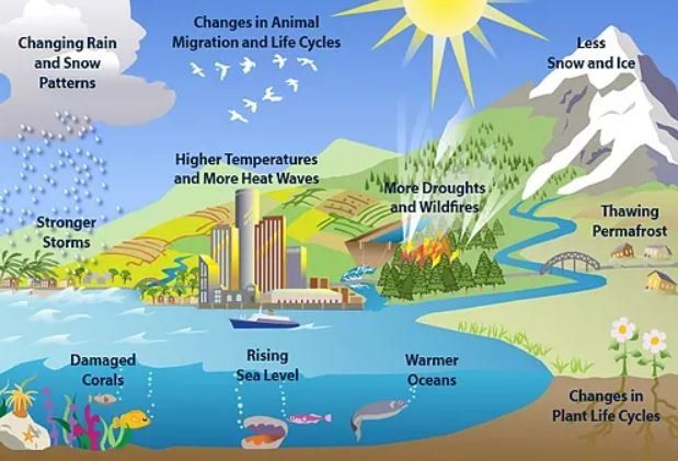
The project was funded by a grant from WA State Department of Ecology and Commerce, received by the NODC. Climate change poses a variety of threats to the North Olympic Peninsula (NOP), including the potential to increase air temperatures, change precipitation patterns, reduce snowpack, and alter the biochemical cycle of the forests and oceans. This project was aimed at reducing risks due to climate change through the detailed assessment of climate related vulnerabilities and the creation of a Climate Preparedness Plan. The resulting plan provided the comprehensive and strategic planning processes of the cities, counties, Tribes, Public Utility Districts, and ports within the NOP. The plan includes: A compilation of detailed local observations and projections of climate change using best available science; A prioritization of highly sensitive or vulnerable resources and locations; A prioritized set of adaptation strategies and actions based on both the science and the knowledge of local stakeholders.

The NODC received a $1.6 million grant in 2006 to evolve a Solutions Network of local, regional and national organizations to provide watershed management teams with decision support through NASA-funded earth-sun research results. The NODC built a team of eight other major partners for this project, including the NASA-funded Pacific NorthWest Regional Collaboratory (PNWRC); USDA Natural Resources Conservation Service (including the National Water and Climate Center); Pacific Northwest National Laboratory (PNNL) in Sequim and Richland, WA; Idaho National Laboratory (INL); Olympic National Park (ONP); Clallam County; the National Association of RC&D Councils (NARC&DC) in Washington, DC; and Peninsula College (PC). During the second and third year of the project, the North Olympic Peninsula Solutions Network (NOPSN) team surveyed RC&D Councils around the United States to assess their priority natural resource issues related to NASA focus areas. Based on the results of the surveys and follow-up interviews conducted with several Councils, four RC&Ds were selected for on-going participation in the project. The NOPSN team conducted workshops with each of the four RC&Ds throughout the summer. During the workshops, NOPSN team members assisted Council members and other stakeholders in identifying viable resource management projects that could be enhanced through a Solutions Network approach and the utilization of NASA tools. Two of the four teams have gone on to submit project proposals to various funding agencies: The Solomon Valley RC&D created a proposal to explore the utilization of remote sensing tools to determine the amount and condition of no-till cropland in their service area. The Solutions Network team worked with Solomon Valley to provide an initial guidance document for identifying no-till areas using NASA tools that helped them further their development of a project proposal submitted for funding. The NCW RC&D formed a project team that included cross-border collaboration with Canadian Okanogan Basin Water Board. The group developed a pilot project that combined existing watershed-level solutions, local government tools, and NASA technology to improve water resource forecasting within the Okanogan region. NOPSN provided the team with a guidance document that detailed available remote-sensing technologies and methodologies that helped them further their development of a project proposal submitted for funding. The project was extended through Spring of 2011. The primary focus addressed the user needs that were identified in the Elwha watershed feasibility study. One of the major needs identified in the Elwha watershed was the need for accurate sediment mapping of the 18 million yards of sediment that was released in the Elwha dam removals. Over the next few months, a project team, lead by Dr. Dwight Barry at Peninsula College, determined the relationships between field-based measures of sedimentation and sediment-transport-based change with remote sensing data gathered from NASA’s ASTER and LANDSAT data. Comparing this baseline data to remote-sensing tools provided a means to improve any future modeling of sediment transport after dam removal actions.
This project, funded by the National Fish and Wildlife Foundation in October 2010, provided high-school students with field science education, initiated student led natural resource service learning projects at the Dungeness National Wildlife Refuge, and expanded existing natural resource programs into the Sequim School District. NASA Solutions Network Projects (#018, #044, #045): The NODC received a $1.6 million grant in 2006 to evolve a Solutions Network of local, regional and national organizations to provide watershed management teams with decision support through NASA-funded earth-sun research results. The NODC built a team of eight other major partners for this project, including the NASA-funded Pacific NorthWest Regional Collaboratory (PNWRC); USDA Natural Resources Conservation Service (including the National Water and Climate Center); Pacific Northwest National Laboratory (PNNL) in Sequim and Richland, WA; Idaho National Laboratory (INL); Olympic National Park (ONP); Clallam County; the National Association of RC&D Councils (NARC&DC) in Washington, DC; and Peninsula College (PC). During the second and third year of the project, the North Olympic Peninsula Solutions Network (NOPSN) team surveyed RC&D Councils around the United States to assess their priority natural resource issues related to NASA focus areas. Based on the results of the surveys and follow-up interviews conducted with several Councils, four RC&Ds were selected for on-going participation in the project. The NOPSN team conducted workshops with each of the four RC&Ds throughout the summer. During the workshops, NOPSN team members assisted Council members and other stakeholders in identifying viable resource management projects that could be enhanced through a Solutions Network approach and the utilization of NASA tools. Two of the four teams submitted project proposals to various funding agencies: The Solomon Valley RC&D presented a proposal to explore the utilization of remote sensing tools to determine the amount and condition of no-till cropland in their service area. The Solutions Network team worked with Solomon Valley to provide an initial guidance document for identifying no-till areas using NASA tools that helped them further their development of a project proposal submitted for funding. The NCW RC&D formed a project team that included cross-border collaboration with Canadian Okanogan Basin Water Board. The group developed a pilot project that combined existing watershed-level solutions, local government tools, and NASA technology to improve water resource forecasting within the Okanogan region. NOPSN provided the team with a guidance document that detailed available remote-sensing technologies and methodologies that helped them further their development of a project proposal submitted for funding. The project was extended through Spring of 2011. The primary focus was to address the user needs that were identified in the Elwha watershed feasibility study. One of the major needs identified in the Elwha watershed was the need for accurate sediment mapping of the 18 million yards of sediment that will be released in the Elwha dam removals. Over the next few months, a project team, led by Dr. Dwight Barry at Peninsula College, determined the relationships between field-based measures of sedimentation and sediment-transport-based change with remote sensing data gathered from NASA’s ASTER and LANDSAT data. Comparing this baseline data to remote-sensing tools provides a means to improve any future modeling of sediment transport after dam removal actions.